Drone surveys are often used in the construction and building planning industry for land evaluations, mapping, environmental conditions and more; both by surveyors and engineers. Using a process called Drone Mapping, a drone, also known as an Unmanned Aerial Vehicle (UAV), can be used to conduct an aerial survey over a land area. Drone land surveys are conducted by utilizing an unmanned aerial vehicle (UAV) to assess a large plot of land.
The benefits of drone land surveys are seen in a number of different industries, providing a precise way of surveying and evaluating a small or large land area. Drones do more than just make a surveying job easier but, can produce data and models that are far more accurate than having individual people document the area on the ground like was done in the 1800s. They can even be designed to work with surveying software like RAPID and Pix4D, producing 3-D models and other deliverables.
Drones can efficiently do the work in the fields of 3-D mapping, land surveys, photogrammetry, and topographic surveys while flying over land. Drones are a powerful tool that helps the mapping and surveying industry. Aerial mapping and surveying is one of the more profitable fields of the era of commercial drone flights. Most of the construction surveying drones help with aerial scheduling, inventory management, topographic mapping, 3-D site reconstruction, and monitoring construction projects.
Drones are changing the way land is worked and surveyed by enabling highly accurate measurements in a fraction of the time. Before the drones had their effect on the field of land surveys, it took days or weeks to produce accurate maps or 3-D models of small areas of land. By using drones, surveyors no longer need to spend days or weeks walking survey areas and taking hand measurements. Continuing to speed: Drones can survey acres in just a fraction of the time that it takes for a manual on-the-ground survey, particularly in areas with challenging topography.
A surveyor can make extremely precise measurements for distances and surfaces using the high-resolution orthomosaic photos produced by drone surveys. The drone for the surveying may collect data needed for producing an orthomosaic, 3D model, or land mapping. The data from an aerial survey, fed into various software programs, produces accurate measurements, maps, and models, which can be used in various ways, as described earlier. Images obtained by drone surveys can be used in 3-D mapping software, which generates volumetric measurements.
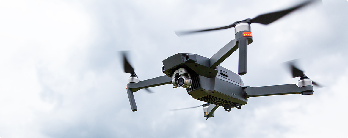
Keep in mind Drone Surveying isn’t any aerial survey conducted using a drone and camera. Rather, specialized cameras for aerial data acquisition using down-facing sensors and high grade drones are required. When equipped with specialized sensors and cameras that have downward facing sensors, the drone is capable of rapidly taking pictures and data of the ground beneath it.
Those working in surveying industries can use drone surveyor contractors who do the work on a site by site basis and had over import images into computer-aided design (CAD) software to produce accurate virtual models of developments. In addition to surveys, companies use drone mapping to detect job-site errors, monitor the progress of construction, predict delays in the project timeline, and more. Site managers have never been able to spread their supervision like this before!
Drone mapping has the potential to benefit a broad array of industries, as well as to conduct surveys on a broad variety of types of terrain. As mentioned earlier, land surveys using drones are far faster than conventional methods allow, thus, they have proven far more economical and time-efficient for businesses. Drones can be equipped with surveying devices like RTKs and PPKs to plan flights and collect data. Even outside one of the biggest industries globally, drone like these mentioned can increase the quality of inspection jobs. In conclusion working with drones can have an immense impact on your end product.