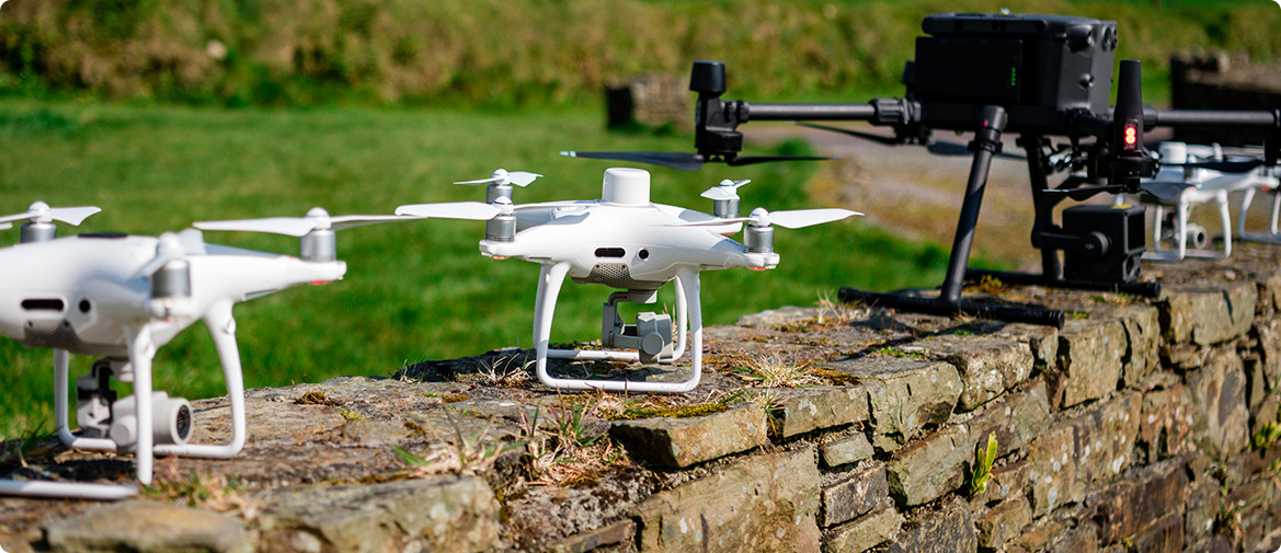
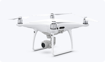
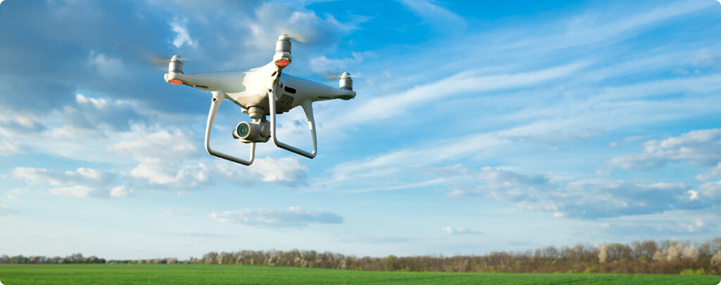
DRONE SERVICES
As a provider of aerial services we work with multiple projects. From Aerial Land
Mapping, Inspection Services, Aerial Photogrammetry and Ortophoto to Complex and
detailed Aerial survey.
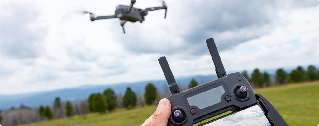
We look after the planning, risk assessment, appropriate approvals and data capture
and provide you with the required output all in compliance with GDPR Regulations.
We are IAA Approved and fully insured for Drone Operations
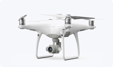
ORTOPHOTO
Photographic images tend to be amongst the most user-friendly ways to share data
and have practical applications in multiple industries. They are, however, not very
accurate without being placed in a photogrammetry model and are not recommended
for surveying jobs
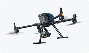
Inspection Services
Keep everyone safe – send a drone in for inspections, it’s faster and safer – rather safe
than sorry. Locate surface impact, cracks and leading-edge erosion with high resolution
cameras and sensors.
Aerial
Photogrammetry
Photogrammetry involves taking multiple images of a feature and using them to create
digitized high resolution 2D or 3D models from which accurate measurements can be
deduced. Metric photogrammetry uses coordinate points on features to visualize
an object with near exact measurements.
Where we can use it?
Engineering: Drone photogrammetry can be used to create 3-D models of buildings
and equipment. Construction: Surveying with photogrammetry can reveal information
about the land being built on, amongst other uses.
Land surveying: Surveyors in many different industries rely on photogrammetry�when their clients need to understand the topography of a piece of land.
Real estate: Realtors are using drones to make accurate 3-D models of homes�for sale and offer virtual tours. This technique has taken off as a result of the COVID-19
pandemic.
Lidar point Survey
What is the difference between LiDAR and Photogrammetry point cloud?
The one difference to remember that distinguishes photogrammetry from LiDAR is RGB.
In other words: colour. Photogrammetric point clouds have an RGB value for each point,
resulting in a colourised point cloud. On the other hand, when it comes to accuracy,
LiDAR is hard to beat.
Aerial Mapping - Elevation
and contours
Through the photogrammetry process we can extract elevation and contour lines,
whitch details heights and lengths of surveyed objects.
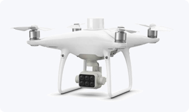
Multispectral Imaging
- agriculture missions
Multispectral drone consolidates the process of capturing data that gives insight into
crop health and vegetation management. Switch between a preliminary Normalized
Difference Vegetation Index (NDVI) analysis and the live RGB feed to immediately
visualize where attention is needed, so targeted treatment decisions can be made
quickly Routine inspections and maintenance involving plants can be made smarter
and more efficient when using the P4 Multispectral – leverage its actionable
multispectral insights to monitor forest health, measure biomass, map shorelines,
or manage riparian vegetation while protecting habitats or ecosystems, and much more