The River Springfield flood relief scheme will provide protection for the surrounding properties in the area. It involves the construction of a flood protection embankment, land raising, penstock / sluice, pump station and associated works at the townlands of Springfield. In 2021, Chief Executive of Clare County Council Pat Dowlingsaid, “Clare County Council is delighted for the residents of Springfield who have suffered for so long from flooding to their homes and property and would like to thankthem for their continued help and assistance throughout this process.”
BLOG The River Springfield flood relief scheme
The River Springfield flood relief scheme
Drone Works | October 06 2022 | lukaszb

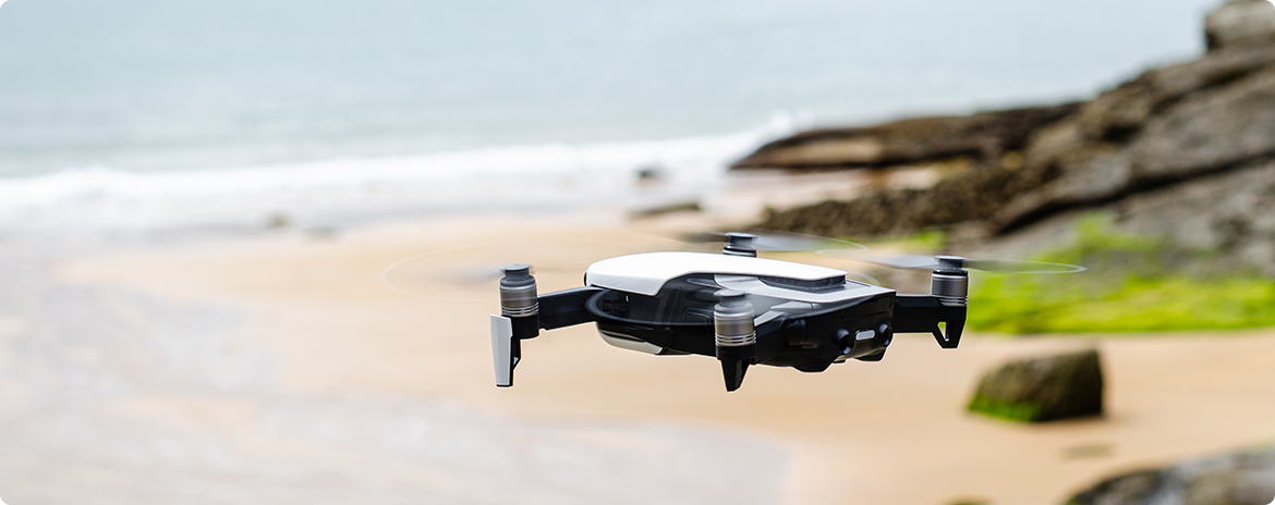
Today, work on the project is underway (to completion and) to deliver protection to 80% of the surrounding properties which will be protected by this significant investment programme. A vital aspect of the project relies on the understanding of the surrounding environment and progress of the construction efforts. Computronic Group is involved in this solution by providing a bird’s-eye view of the entire project. We use high end drones to capture orthographic imagery that provides other teams with valuable insights. Orthographic drones have a number of advantages over traditional surveying methods. For example, they can be flown at low altitudes, which means they can cover a large area quickly and present high accuracy data. They are also able to fly in tight spaces, which is useful for surveying damaged or hard to reach areas. Additionally, orthographic drones can be equipped with sensors that track environmental conditions, such as temperature, wind speed and rainfall, all of which may be needed during a project to develop protections against flooding.
Computronic Group is assisting with the analysis and documentation of the surrounding areas. We areusing our special drone fleet fitted with various cameras to further our data capturing capabilities. The datathatour drones are able to capture is then processed by our team of experts who use the latest in computer vision software to createa 3D model of the construction area. This model can be used to plan evacuation routes and aid in planning efforts.
Our drones are helping to identify potential risks, challenges and hazards in the area so that we can create a more accurate solution to solveany shortcomings inthe plan that was established years ago. The new map of the area shows clear differences between the initial inspections;this puts more stress on the engineering team as they were fed old, outdated reports. This data will be used to help plan evacuations, help engineers develop blueprints and help geoscientists forecast how the solutions will affect the river as well as the surrounding environment.
The works are expected to be substantially complete in 2022, however the new data provided by Computronic has resulted in new evaluations that need to be considered for the scheme to be effective. It is an important step for any construction or development to first understand the group and environment. Overtime,multiple surveys of an area give scientists a good idea of the challenges that the area experiences. Computronic Group highly suggests the use of UAV drone surveys to first gather essential data.
lukaszb