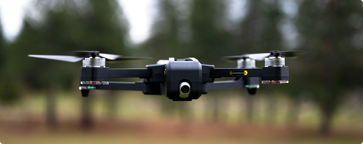
In recent years, the use of drones for commercial activities has increased dueto government permission to fly certified and licensed drones. Government contractors and builders alike have been the first people to adopt the use of drone surveys for mapping project areas. A common use is taking pictures of their site which alone provide valuable insights for engineers. Other usesare to take stockpile measurements of various materials lying in the project area.
BLOG Sharing is Caring – How you can benefit from our services
Sharing is Caring – How you can benefit from our services
Drone Works | October 06 2022 | lukaszb

Computronic Group provides this solution as a service which bypasses companies needing to get their own licensed and certified pilots. Various industries that have outdoor stocks find it difficult to measure the exact quantities that remain, especially vast amounts of materials. More over, when these materials are spread over a large area, it becomes an obstacle for companies to assess correctly. Computronic Group overcomes this headache by using our expert drone surveys to map the area, photograph the land and generate stockpile reports using data collected by the drone survey and accompanying special software.
Computronic Group decided to specialize in using the drones to survey lands and stockpiles as there is a dire need to adopt new, helpful technologies in Ireland.
Using Drone Surveying and Mapping Services for your Business Aerial surveying by drones provide a clear and accurate picture of the mapped site. It has become a supercharged technology through software that processes data into 2D and 3D models for better comprehension. This saves a significant amount of time, speeds upworkflow and saves capital. Drone mapping is especially helpful for organisations that need information on regular changes in sites or project progress. Large projects can be regularly scanned as a more cost-effective solution than using manned aircrafts. Construction projects, mining sites, road works, coastal area monitoring are some places that Computronic has provided much needed surveying frequently. Drones gather data incredibly quickly. On top of that, they use high-resolutioncameras, and our drones can be equipped further with specialized camerasforcapturing(?)more data. Secondly, specialized software converts data to a 3DMapping of the site, representing an in-depth topographical map. Having detailed data and 3D maps can help other teams visualize and make informed decisions. This increases project success rates and keeps peoplesafe.
Drone surveying can analyse stockpiles, get volumetric measurements of said stock and assist in inventory calculations. Examples of practical uses are gathering detailed storm water drainage, planning constructions and measuringlandfill capacity. Choosing the right drone surveyor service is vital and while some businesses employ drone services to fast track their projects, you may besurprised to learn how UAVs may be an asset to your business too. Findinga reliable and competent drone operating service may be tricky. You must determine the right drone service provider after considering some important details unique to your work.
Computronic Group has been serving multiple different industries with our drone fleet. We’ve encountered various industries and we aim to share the benefits that these drones bring to businesses who wish to deliver higher standard supplies or plans to their clientele. Much like how we help our clients generate stockpile reports or assess construction sites. Consider reaching out to us or schedule a meeting to understand the benefits that UAV surveys may bring to your company.
lukaszb